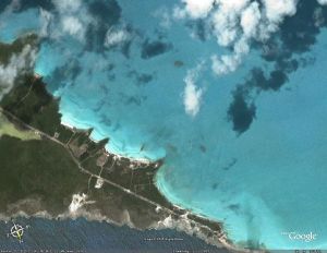
Google Earth: almost Godlike experience
Phil South - October 12, 2006 One of the very best free downloads on the Internet has to be Google Earth. The application and its underlying API (which you can use to make your own apps using the Google Earth technology) is one of the most stunning things to play with, a virtual planet Earth you can play with, but also one of the most serious apps ever made too.
Using the maps you can fly around the world seeing sights, zooming down to almost ground level in most populated areas, and generally spinning the Earth around like a school room globe. It’s an almost Godlike experience, and one which is free. If you haven’t yet experienced Google Earth (and if so where have you been?) it’s now available for both Mac and PC and you should really go and download it now.
Using the maps you can fly around the world seeing sights, zooming down to almost ground level in most populated areas, and generally spinning the Earth around like a school room globe. It’s an almost Godlike experience, and one which is free. If you haven’t yet experienced Google Earth (and if so where have you been?) it’s now available for both Mac and PC and you should really go and download it now.For the best download ever go to http://earth.google.com/
This entry was posted on Thursday, October 12th, 2006 at 4:22 am and is filed under Main. You can follow any responses to this entry through the RSS 2.0 feed. You can leave a response, or trackback from your own site.


 (1 votes, average: 4.00 out of 5)
November 11th, 2006 at 11:14 am
Great to experience but the pictures are about 3 – 4 years old…. maybe older…
November 28th, 2006 at 1:32 pm
Hi All Experts,
Does anyone use google earth images as ground image planes for use in aerial scenes. I know how to stitch them together but are there any tools or tricks to make sure that the images are at the same height, angle and such to make sure they stitch well. I know in the pro version you can get bigger images but im not going to pay for the pro version when i could stitch multiple images together…